Faster and minimum error

Cost-efficient

Spatial analysis and location specific reporting made possible
In addressing the knowledge gap, IID employs modern research methods and tools for accuracy of their collected data which attest validation. The cutting-edge research methods and tools used by IID include paper-less (mobile/tab based) survey, use of GPS, online survey (obhimat.com) and data collection through social media.
Featured Surveys

Blog, e!quality, Education Budget, Global Partnership for Education, , , Townhall
Blog, e!quality, Education Budget, Global Partnership for Education, ,

Blog, e!quality, Education Budget, Global Partnership for Education, , , Townhall
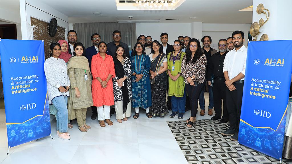
Ai4Ai, Discussion, Education, Policy Advocacy,
Key features of IID’s survey technique
A Geospatial Survey
The surveys were conducted with GPS-enabled tablet computers with real-time online data update. Some of the benefits to this method were:
Authenticity: Geo-location monitoring GPS-enabled tablets ensured enumerators’ actual presence in the venues and households.
Error free data: Survey software omitted common and logical errors that happen during data-input, compilation and editing of paper-based survey.
Geospatial analysis: Mapping geo-tagged data opened vast potentials of geospatial analysis.
Enabling micro-level analysis: Geo-tagged data makes it easier to produce region-specific reports, and can provide venue-specific findings for development programmes.
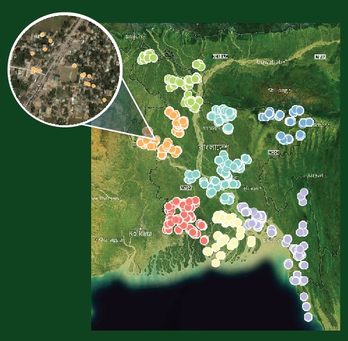
Mapped data can be zoomed to view information and responses of individual respondents
Partners